imagem topografia da França

imagem topografia da França
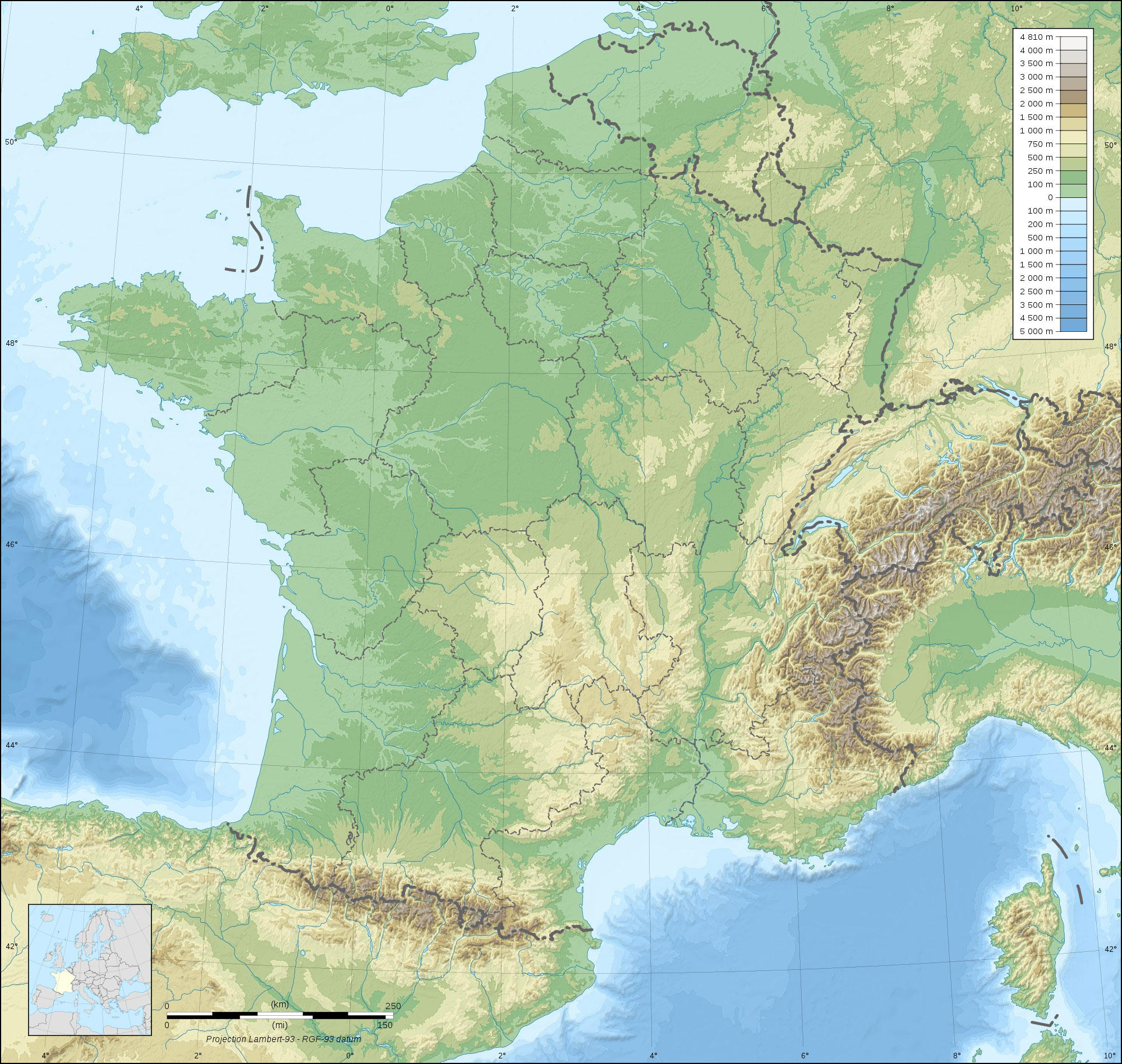
Clipart de França topográfico com elevações verdes e marrons e corpos d'água visíveis. Para baixar e imprimir gratuitamente.

Categoria: imagem Mapas > topografia da França
Palavras-chave: topografia da França, topografia da franca
Image information
Attribution and Share-Alike required
Any use of this map can be made as long as you credit me (Eric Gaba – Wikimedia Commons user: Sting) as the author and distribute the copies and derivative works under the same license(s) that the one(s) stated below. A message with a reply address would also be greatly appreciated.
Sources of data:
- Topography: NASA SRTM30 (public domain);
- Bathymetry: NGDC ETOPO1 (public domain);
- Additional data: NGDC World Data Bank II (public domain).
Blank topographic map of France in the official Lambert-93 projection, with regions boundaries.
Todas as imagens podem ser usadas para fins educacionais, privados e não comerciais.
Para qualquer outro uso, consulte a Licença de Imagem e/ou os Termos de Uso.
Fique à vontade para nos contatar para mais informações.
